


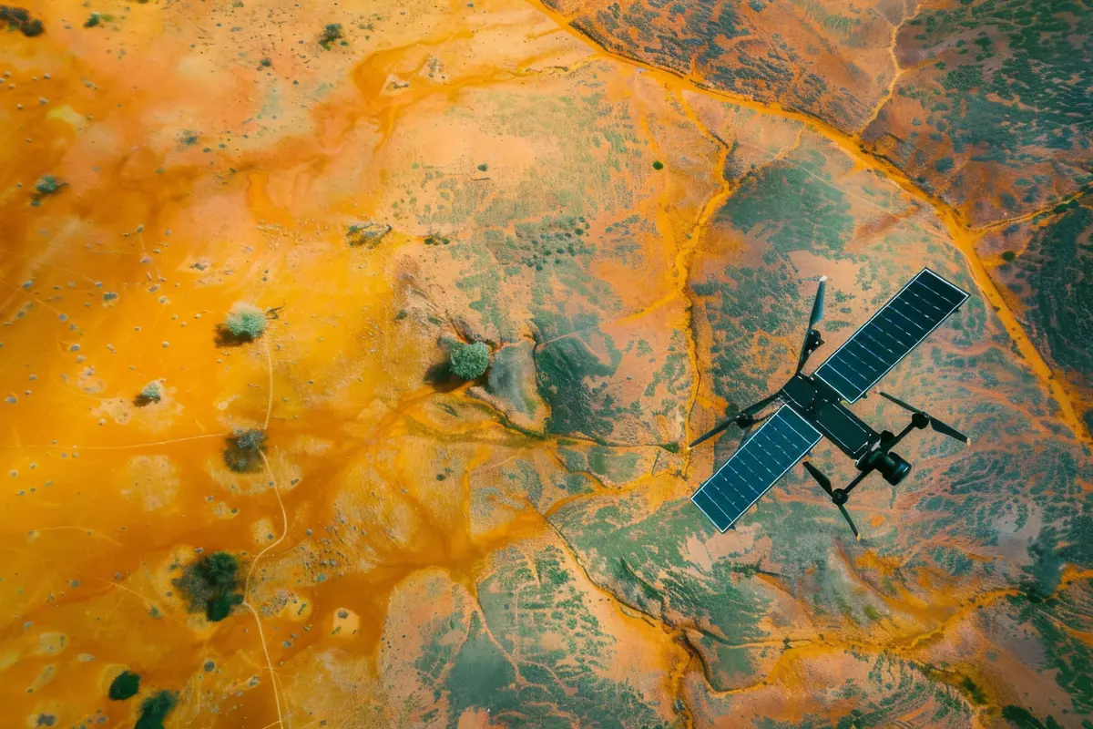
The traditional approach to mineral exploration has long relied on ground-based surveys, manual sampling, and labor-intensive fieldwork. But as mineral demand intensifies—driven by the global push for energy transition and battery metals—there’s a critical need to modernize how we discover resources. The future of mineral exploration lies beyond boots on the ground. With cutting-edge advances in satellite-based sensing, digital elevation modeling, and AI-driven pattern recognition, platforms like GeoSense™ are redefining how exploration companies identify high-value geological targets with greater speed and precision.
Remote Sensing Layers + AI
GeoSense™ integrates multiple types of remote sensing data with trained AI agents to reveal subsurface insights without the need for expensive field campaigns. The platform fuses satellite datasets such as:
- Multispectral imagery from Landsat and Sentinel-2 to analyze surface mineral signatures, vegetation anomalies, and thermal patterns.
- Synthetic Aperture Radar (SAR) from Sentinel-1 and ALOS PALSAR to penetrate cloud cover and map ground deformation and fault systems.
- Digital Elevation Models (DEMs) such as SRTM and ASTER to evaluate terrain, slope, and drainage features relevant to mineral deposition.
Once ingested, the AI engine classifies and overlays key geological elements, including:
- Lithological boundaries and formations
- Active and ancient fault lines
- Fracture density and propagation zones
- Erosion-prone or altered surface zones
- Topographic anomalies linked to mineral systems
Fault Detection via SAR + DEM
GeoSense™ most powerful features is automated fault and fracture analysis using radar-based interferometry (InSAR) and slope-gradient modeling. These capabilities are critical in identifying structural traps and hydrothermal conduits—key indicators of mineralization—especially in greenfield regions. By combining phase shift analysis from SAR and elevation change from DEMs, users can remotely detect active tectonics, landslides, or areas of uplift that may otherwise go unnoticed in satellite imagery alone.
“By integrating SAR and DEM analytics, we were able to pinpoint fault-controlled zones with high mineral potential—months before deploying a single field team.” — Senior Geologist, South America Project
Example: Lithium Prospect Mapping in South America
A mining company targeting lithium-bearing pegmatites in a semi-arid region of South America used GeoSense™ to remotely assess over 500 square kilometers. The platform analyzed terrain elevation, radar deformation, and surface reflectance to flag likely zones of hydrothermal alteration. The result: a 70% reduction in pre-field planning time, with a shortlist of actionable, high-potential sites that dramatically improved field efficiency and resource allocation.
Key Takeaways
- Accelerates exploration timelines by combining remote sensing and AI intelligence
- Reduces risk and cost in early-stage greenfield and brownfield surveys
- Enables pre-field prioritization of zones with high mineralization potential
- AI models continuously improve with new satellite data and ground truth feedback
- Outputs integrate seamlessly into GIS, 3D mapping platforms, and exploration models