













Seismic Intelligence, Reimagined
SeisSense™ is a specialized AI platform built to accelerate subsurface workflows starting from raw 2D seismic to 5D-ready interpretation volumes. It merges traditional geophysics with modern automation and ML, enabling geoscientists to standardize, enhance, and QC seismic data in just a few clicks.
Why SeisSense™?
- SeisSense™ lets you run seismic workflows without writing any code.
- It ensures data quality through PPDM-aligned QC standards.
- Machine learning enhances and reconstructs seismic volumes automatically.
- The platform is ready to deploy across cloud, on-premise, or secure data rooms.
- You can access it via CLI, web app, or integrate it into your workflows.
- Its AI engine delivers fast, explainable insights from complex seismic data.
How it works
Our platform seamlessly connects data ingestion, intelligent processing, and contextual response through automation and AI.
- Data Ingestion: Raw data (e.g., seismic, operational, or asset-level documents) is ingested from various sources via secure API or file-based pipelines.
- Knowledge Creation: AI models extract key signals, patterns, and anomalies from the data—transforming them into structured, searchable insights.
- Contextual Querying: End users, systems, or bots interact with the platform via a chat interface, API, or dashboard.
- Smart Response Engine: The AI engine interprets queries in real-time, retrieves relevant insights from the internal vector store, and responds with actionable information.
- Multi-Channel Delivery: Insights and decisions are routed back via web dashboards, WhatsApp agents, or other enterprise messaging interfaces-enabling users to take action quickly.
Key Modules of SeisSense™
Designed to make seismic processing easier and faster.
Standardize and Integrate Legacy 2D Data
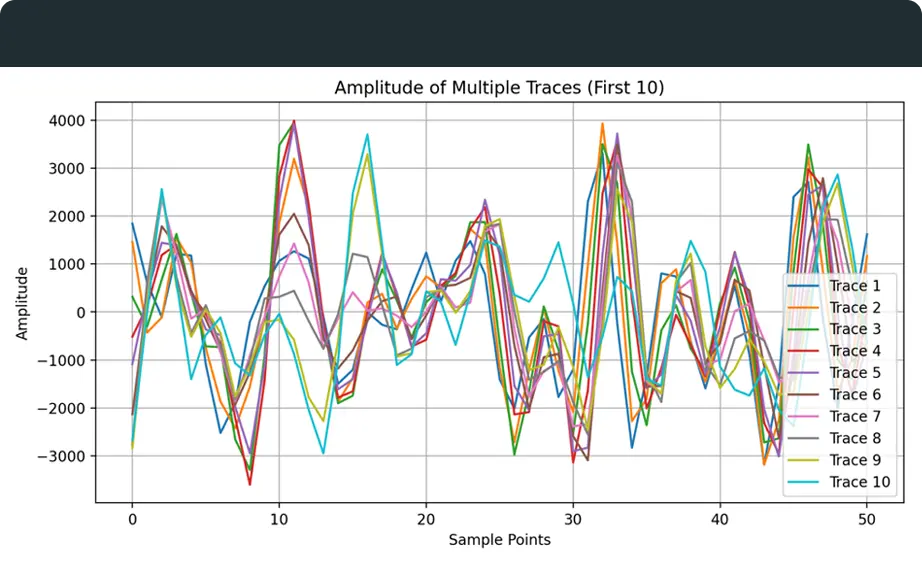
• Merges multiple 2D seismic lines into a single, standardized dataset. • Automatically aligns headers, coordinates, and trace spacing. • Handles inconsistent metadata, sampling rates, and formats. • Supports SEG-Y, SEG-2, and legacy ASCII inputs. • Produces clean, continuous lines for interpretation workflows. • Generates QC reports highlighting merged segments and gaps. • Ideal for cross-line studies, vintage data cleanup, and regional mapping.
Detailed Overview
Turn 2D into Volume Intelligence
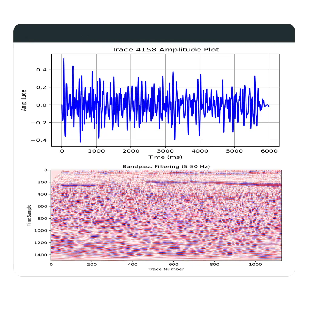
• Grids stacked 2D lines into structured 3D SEG-Y cubes. • Applies ML-based vertical alignment for structural accuracy. • Supports time-to-depth conversion with custom velocity models. • Handles uneven line spacing and varying sampling rates. • Outputs QC-ready, interpretation-ready 3D datasets. • Ideal for frontier basins, regional analysis, and legacy upgrades. • Enables batch processing for large multi-line 2D datasets.
Fill Gaps. Boost Resolution
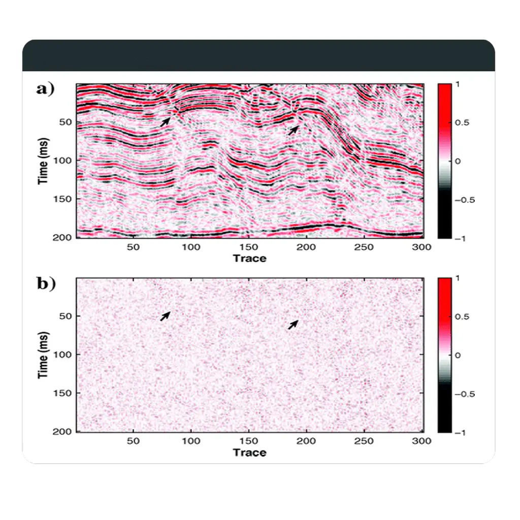
• Uses 5D Fourier and AI models to reconstruct missing traces. • Regularizes inline and crossline sampling for uniform coverage. • Enhances signal-to-noise ratio and structural continuity. • Preserves true amplitude and AVO integrity. • Delivers interpretation-ready datasets with improved resolution. • Supports pre-stack and post-stack seismic volumes. • Optimizes fold distribution for improved imaging consistency.
Detailed Overview
Trust Your Data from Day One
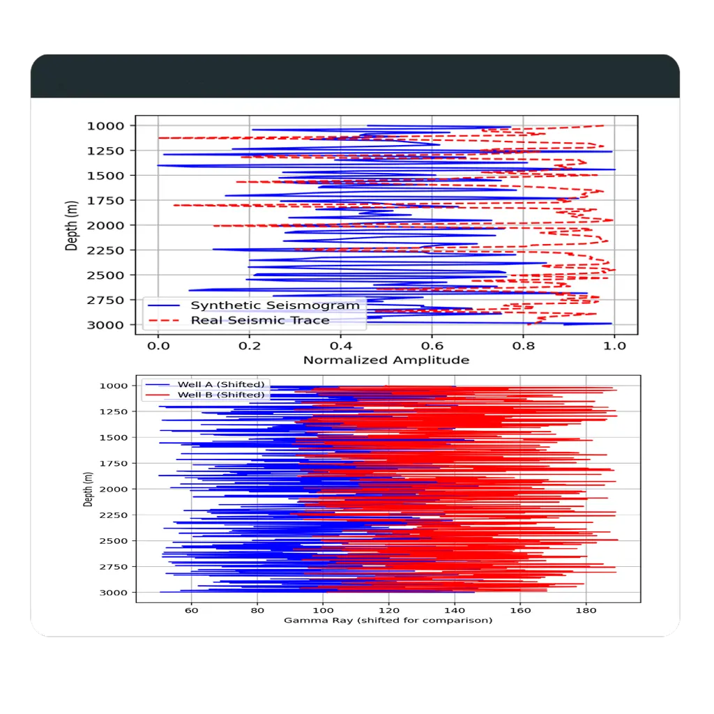
• Parses EBCDIC, binary, and trace headers for structural issues. • Flags coordinate anomalies and trace inconsistencies. • Runs statistical checks on amplitude, phase, and dead traces. • Detects sampling rate errors and file corruption. • Generates detailed QC reports with visual summaries. • Validates SEG-Y format compliance for smoother integration. • Supports bulk processing for field or project-level data.
Detailed OverviewFeatures of SeisSense™

Empowers geoscientists through intelligent automation across the seismic data lifecycle.

Automated 2D Line Merging
Merge multiple 2D SEG-Y files with aligned headers, unified coordinates, and navigation grids—ready for interpretation.

2D to 3D Volume Conversion
Transform 2D lines into structured pseudo-3D SEG-Y cubes using velocity-aware gridding and time-depth alignment.

3D to 5D Seismic Interpolation
Use ML and 5D Fourier techniques to fill spatial gaps, boost resolution, and prepare datasets for inversion workflows.

SEGY QC Analyzer (2D/3D)
Scan SEG-Y headers, binary and trace blocks for anomalies. Export visual QC reports and compliance summaries.

AI-Based Enhancement Engine
Enable intelligent slicing, attribute prediction, and pattern recognition across seismic volumes with minimal manual input.

Seismic Visualization
Time-slice maps, waveform plots, and metadata packaged for geophysicists, QC teams, and decision-makers.
Inspirational Insights Client Stories
From pilot runs to full-scale deployment, see how SeisSense™ drives value in real operations.
FAQs on SeisSense™ Platform
Which data formats does SeisSense™ support?
SeisSense™ supports a wide range of industry-standard formats including 2D/3D SEG-Y (Post-Stack and Pre-Stack), LAS, DLIS, and related metadata files. This ensures compatibility with most subsurface data workflows and accelerates integration with existing datasets.
Can SeisSense™ be integrated with platforms like Petrel or OpendTect?
Yes, absolutely. SeisSense™ is built with interoperability in mind. You can export processed data in compatible formats or use our well-documented APIs to push outputs directly into platforms like Petrel, OpendTect, and others used in seismic interpretation and geoscience workflows.
How long does a 5D interpolation run typically take?
Our 5D interpolation engine is optimized for speed and scale. On GPU-enabled infrastructure, most 3D seismic volumes are processed within a few hours, depending on volume size and complexity. This allows teams to iterate faster and improve decision timelines.
Can I deploy SeisSense™ offline or on-premise?
Yes. We offer flexible deployment models including fully cloud-based, hybrid cloud, and air-gapped/on-premise setups to meet data security, compliance, and infrastructure requirements especially for highly sensitive or regulated environments.