Transform legacy 2D seismic data
Convert historical seismic lines into structured, exploration-ready intelligence.
Transforming fragmented 2D seismic data into structured pseudo-3D volumes, regional subsurface maps and AI-ready exploration intelligence.
Bhū-Rekha is a national seismic transformation programme built on the SeisSense™ ecosystem. It converts fragmented 2D seismic lines into structured pseudo-3D volumes, subsurface maps, seismic intelligence and AI-ready datasets.
By connecting seismic data foundations, geometry and line transformation, 2D-to-3D reconstruction, subsurface interpretation and AI-driven workflows, the programme supports regional understanding, exploration planning and future 3D acquisition decisions.
Eight connected objectives guide the transformation of legacy seismic coverage into a trusted, reusable national intelligence foundation.
Convert historical seismic lines into structured, exploration-ready intelligence.
Connect intersecting 2D seismic lines into coherent volumetric representations.
Generate regional understanding from existing seismic datasets.
Support seismic interpretation and workflow automation through AI.
Bring seismic, horizons, attributes and wells into a connected intelligence view.
Use reconstructed seismic coverage to inform future data and acquisition planning.
Establish repeatable workflows for seismic transformation and intelligence.
Build governed, consistent datasets prepared for future AI applications.
SeisSense™ powered programmes connect data quality, line geometry, volumetric reconstruction, interpretation and AI-driven subsurface intelligence.
Connected through the SeisSense™ ecosystem, from trusted seismic data to AI-assisted exploration decisions.
Each stage builds on the previous one, adding structure, continuity and interpretation to the national seismic data foundation.
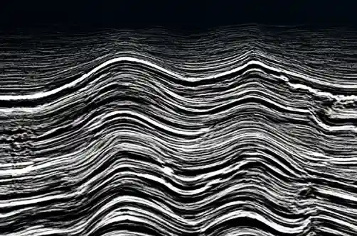
Scattered 2D seismic lines
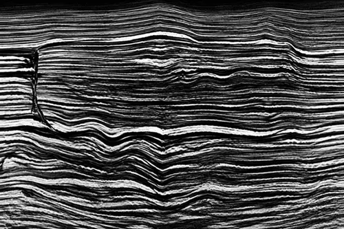
QC'd and standardised data
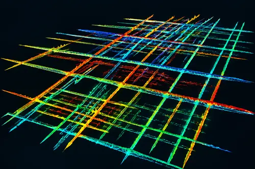
Structured seismic grid
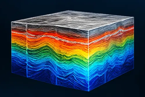
Pseudo-3D seismic volume
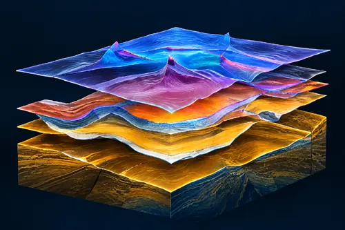
Horizon and fault maps
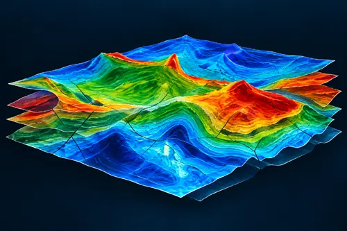
Integrated subsurface models
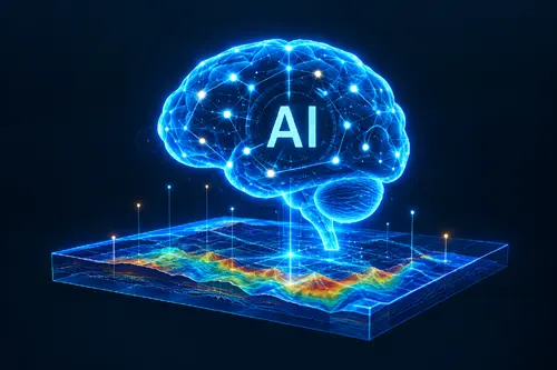
AI-assisted decision support

Better-informed exploration decisions
Bhū-Rekha creates a bridge between legacy seismic coverage and modern subsurface workflows, strengthening the value of existing data while preparing it for future exploration and AI applications.
A connected, reusable seismic foundation for better regional understanding, interpretation and exploration planning.
Make fragmented seismic holdings more structured, discoverable and useful.
Extend the value of existing seismic data and inform future investment priorities.
Create pseudo-3D continuity from intersecting legacy 2D seismic lines.
Provide more coherent volumes and maps for subsurface evaluation.
Prepare consistent seismic datasets for AI-assisted workflows.
Establish reusable transformation methods, data practices and intelligence workflows.
From seismic lines to a clearer view of the subsurface.